
Merced Neighbors: Block Source Map
Each local source answers a different question about the block around a Merced address. MercedGEO shows mapped parcel shapes and configured layers. The county web map supplies broader GIS information. MBAP supplies assessment and tax context one parcel at a time. RecorderWorks connects an identified party to recorded documents from 1963 forward. Permits show projects and applicants, while historical reverse directories show occupants in a publication year. Voter records have a purpose gate, and community pages do not create a public member roster.
| Source | What it shows about a block | Access |
|---|---|---|
| MercedGEO | Adjacent parcel geometry, APNs, and configured map attributes | Free interactive city viewer |
| County Web Mapping | County GIS layers, parcel context, and mapping information | Free web map; verify official facts |
| MBAP property-tax portal | Assessment, fee parcel, street-address, and tax-status context | Free search, one address or parcel at a time |
| RecorderWorks | Recorded documents tied to an identified party or document number | Online from 1963; counter for earlier records |
| Permit systems | Projects, applicants, contractors, descriptions, dates, and status | City or county portal, or narrow request |
| Authorized voter file | Registration presence in a permitted report format | Written application and qualifying purpose |
| Historical reverse directory | Published-year occupants along a street or address sequence | Museum or library research |
| Community pages | Public organization, boundary, meeting, or officer contact when published | Organization or city page; no public roster assumed |
Owner information is not the same as household information. Tax material may show a mailing address that differs from the situs. A permit applicant may be a contractor or project contact. A historical directory may omit a household. Treat the block as a set of parcel-level clues, not a finished list of people.
The neighbors around one parcel are therefore a set of source-specific clues, not a roster assembled from one search.
Merced Neighbors in MercedGEO
The supported adjacent-parcel method is visual. Open the MercedGEO Citizens Mapping Application, enter one known address, and choose the autocomplete result. The map zooms to the feature. Maximize the attribute pop-up, note the APN and mapped layers, then close the pop-up and click the polygons immediately left, right, and behind the starting parcel. Pan or zoom along the block as needed.
- Enter an exact address, APN, intersection, or block-range query and select the suggested feature.
- Record the starting parcel's APN, situs, map position, and visible attributes before moving outward.
- Click each adjoining parcel one at a time and preserve its APN or address for a separate record check.
- Use the MBAP portal to test assessment, fee-parcel, street-address, or tax-status information for each identified parcel.
- Use RecorderWorks only after a party name is identified, then verify the recorded document and legal description.
No official MercedGEO instruction documents a radius report, buffer ownership export, or automatic household list. Visual browsing is the supported workflow. It is slower than a synthetic list, but it keeps each adjacent parcel tied to a source and a map position.
The Merced County GIS services page provides the county mapping context behind parcel and layer research.
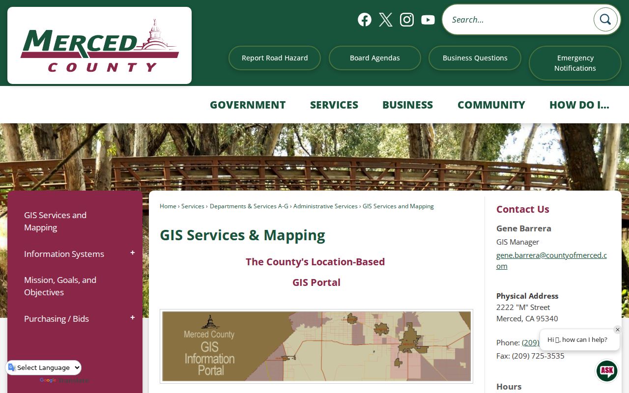
The county GIS image reinforces the map-first approach. Parcel geometry helps frame the block, while recorded documents remain the source for title facts.
Frame Merced Neighbor Blocks with 600BLK
MercedGEO accepts several local search forms that are more useful than a generic map search. A full address can open one parcel. An intersection can be entered as M ST @ W 18TH ST, with slash or ampersand forms also supported. A block-range query such as 600BLK W 18th ST frames a street segment for visual browsing.
| Exact address | Use a known street number and street form, then select the suggested result. |
|---|---|
| Intersection | MercedGEO accepts an at sign, slash, or ampersand style between the two streets. |
| Block range | Use a form such as 600BLK W 18th ST to frame nearby parcels. |
| APN | Use the three-group example format such as 001-001-001, or the shortened final group when accepted. |
| Map movement | Zoom, pan, and click adjacent features; no documented automatic radius result is available. |
Local syntax tip. The 600BLK form narrows the visual block quickly, but every parcel still needs its own tax, deed, permit, or historical check.
Move from Merced Parcel to Neighbor Owner
After MercedGEO identifies a nearby parcel, use the assessment and tax portal for context. MBAP offers Search By choices for Assessment, Fee Parcel, and Street Address. Its address guidance says to omit Street, Road, Drive, or Lane, abbreviate cardinal directions, and shorten the query when the record uses a different form. The first five APN digits can guide the county parcel-map book and page search, while the map app may require CAPTCHA.
- Situs address
- The physical parcel or building location shown on the map.
- Mailing address
- The destination for tax or notice delivery. It may be a different place and is not proof of occupancy.
- APN
- The parcel identifier that connects map, tax, and recorded-document research.
- Parcel map
- An assessment aid showing boundaries and book or page context. It does not prove legal ownership or lawful subdivision.
RecorderWorks cannot natively start from a street address. Translate the parcel into a party name, then search the grantor-grantee index. Use the legal description and APN to avoid same-name confusion. The county's recorded deed, not a map pop-up, controls a title question.
The Merced MBAP property-tax search is useful for this parcel-by-parcel handoff.
Merced Neighbor Permit Records
Nearby projects can explain a block's physical changes, but the correct permit custodian depends on the incorporated boundary. A postal Merced address can fall in the city or unincorporated Merced County. Confirm the boundary or tax-rate and district layer before choosing a city or county search.
The Merced County Citizen Access portal covers building, planning, enforcement, licenses, and public works searches. A permit result may show an applicant or contractor, work description, issue or final dates, and status. Those fields describe a project record, not the people who make up a household. Code-enforcement material may also be partly exempt during an investigation.
For a city record that is not already posted, the City of Merced public-record request channel is the documented fallback. A narrow request should identify an existing address, permit number, work type, date range, or record series. The California Public Records Act supports access to identifiable, nonexempt records, but it does not require staff to create a block list.
Historical Merced Neighbors in Reverse Directories
A historical reverse or criss-cross directory can show how a block looked in a publication year. Find the street section if the volume has one, note the house numbers around the address, and copy the abbreviation legend. The Museum's selected Polk runs and NARA's Merced-Madera reels do not cover every year, and not every volume is documented as having a reverse section.
The Merced Museum archive inventory lists directory years along with maps, manuscripts, photographs, cemetery material, and newspapers. The Main Library can be a practical access point for local microfilm and databases. Ask for the exact publication title, street section, and year rather than assuming that a modern address will appear unchanged.
A missing number may reflect a move, a publication gap, an address change, a changed boundary, or an omitted entry. Use Sanborn maps, subdivision maps, city engineering records, and later directories to test the transition. No official Merced-wide renumbering year was located, so a guessed change date should not be inserted into the trail.
Merced Neighborhood Contacts and Boundaries
Community information sits beside, not inside, the parcel record. Public pages may publish an organization's name, boundary, meeting information, officers, or contact route. They generally do not publish a household roster. The current official Merced neighborhood-association inventory and directory status were not reliably exposed in the research, so active groups should be verified before being named.
City neighborhood program
City neighborhood information may identify planning areas, public meetings, or civic contacts.
Verify the current page before relying on a group name or contact.
Public association page
An association's own public page may list a boundary, meeting time, officers, or a contact route.
No public member or household roster should be assumed.
UC Merced community network
University directories and community networks describe institutional affiliation and official contact.
They are not private-address or neighborhood-household sources.
The absence of a public roster is a normal privacy boundary. Use public meeting and officer information for civic contact, then keep parcel and household research in the official record channels that actually support it.
Merced Voter Status, Not a Neighbor List
California My Voter Status is an identity-authenticated self-lookup. It asks for first name, last name, full date of birth, and either the California driver-license or state-ID number or the last four digits of a Social Security number, with “I do not have” choices. It reports the user's own registration, party and language preference, vote-by-mail or provisional status, polling place, and county contact.
Full voter files are restricted by California Elections Code sections 2188, 2194, and related rules. Election, scholarly, journalistic, political, and governmental purposes can qualify for a written application. Merced County routine reports are generally available within 48 hours after an approved request, but a personal curiosity about nearby households is not a reason to bypass the application gate.
Official Records or Compiled Neighbor Tools
Official local records have a narrower scope and a clearer custodian. Compiled neighbor tools may combine parcel, telephone, marketing, and other sources, but their household associations can be stale or wrong. Compare the source type before treating a result as a lead.
| Source type | Useful strength | Boundary |
|---|---|---|
| GIS and parcel map | Shows mapped parcel shape, APN, and layers | Map attributes can be stale; map is not title evidence |
| Tax and assessment record | Shows parcel and tax context for one address | Does not list every household member |
| Recorded deed index | Connects named parties to recorded documents | Online index begins in 1963 and is not an occupant browse |
| Historical directory | Shows published-year occupants and street order | Coverage, canvass, and spelling vary |
| Compiled commercial tool | May offer a quick lead across mixed data | Source date, accuracy, and lawful use need independent review |
Neighbors are not the same as recorded owners, and a recorded owner is not automatically an occupant.
People who are not recorded owners, children, roommates, utility customers, delivery details, DMV residence data, and protected residents remain outside the ordinary public block view. A compiled profile does not turn those private facts into reliable neighbor evidence.
Privacy Limits for Merced Neighbors
California Safe at Home can provide a substitute mailing address, confidential mail forwarding, confidential voter registration, and agency-record protections for eligible participants. Confidential voter categories and protected residents may be omitted from released files. A qualifying deed or change-of-ownership record may use a substitute address, although a legal description can still reveal the parcel.
Do not seek utility-customer, delivery, DMV, or private member information as a shortcut to a household list. If a public record appears to expose sensitive material, contact the custodian with the document number or page instead of copying or republishing it. The California Safe at Home information explains the protection route and its limits.
The Merced County Sheriff's Office is a separate public-safety and custody channel, not a directory of block households. The official Sheriff's Office information should be used for its own records and contact purpose.
The Sheriff image marks a different records lane. Keeping custody and public-safety information separate prevents it from being mistaken for parcel or neighbor evidence.
Lawful neighbor research. Use parcel and community records for civic awareness, reconnecting, and ordinary personal safety. Do not use a Merced neighbor lookup to watch, intimidate, harass, or harm anyone.