
Merced Streets, One Address Trail
An address-first search in Merced is a chain, not a single list. Start with the physical address or parcel, then keep the APN and legal description as stable keys. A map can show which mapped shape sits at the location. A tax record can show an assessment and may show a mailing address. A deed names grantors and grantees. None of those entries, alone, proves who lives there today. Non-owner occupants, household members, and people protected by confidentiality programs may never appear in the same source.
The Merced street directory question also changes with jurisdiction. Inside incorporated Merced, city mapping and Development Services records matter. Outside the city line, county GIS and county Citizen Access may hold the relevant permit trail. Keep the postal city separate from the permitting custodian. A whole-street project should record each parcel one at a time, rather than turn map clicks into an unverified household list.
- Run the exact address through MercedGEO. Try an intersection such as
M ST @ W 18TH ST, a slash or ampersand form, a block range such as600BLK W 18TH ST, or an APN such as001-001-001. - Use the Merced property-tax search by assessment, fee parcel, or street address. Normalize the street first, then save the situs address and any mailing address as separate fields.
- Use the parcel or tax result to identify a named party, APN, or legal description. That key is more useful than a broad surname search when several Merced records share a name.
- Search the deed index for the likely acquisition document, then search the grantor as an earlier grantee. Keep the document number, recording date, and legal description with each link in the chain.
- For an earlier household, consult the reverse section of a historical directory, then compare the address with a released census schedule or obituary. A directory occupant and a recorded owner answer different questions.
Merced Street Blocks in MercedGEO
MercedGEO is the most flexible local starting point because its search accepts an address, APN, common place, intersection, or block range. Type a term and choose the autocomplete result. The map then zooms and pans to the feature, while the pop-up exposes configured layer attributes. The tool supports three intersection separators, including the @ form, and the block syntax is useful when the goal is to frame a street segment instead of one house.
| MercedGEO control | Type | Required | What it does |
|---|---|---|---|
| Search bar | Autocomplete text | Yes | Accepts an address, APN, common location, intersection, or 600BLK range. |
| Suggested result list | Autocomplete choices | No | Selecting a result moves the map to the feature. |
| Feature pop-up | Map click | No | Shows available attribute information and can be maximized. |
| Zoom and pan | Map tools or mouse | No | Moves along a street so adjacent parcels can be selected. |
| Directions | Autocomplete or map click | Conditional | Accepts stops, reverse routing, an interactive turn list, and print or clear controls. |
There is no documented radius or buffer ownership report. For neighboring parcels, zoom to the parcel scale, open each adjacent shape, and write down each APN before checking its separate public record. The viewer is a navigation aid, not a conclusive title record.
Note: MercedGEO attributes should be checked against recorded or adopted documents before a parcel fact is treated as official.
Merced Street Parcel and Tax Search
The Merced Assessor online services and Tax Collector MBAP portal offer three search modes: Assessment, Fee Parcel, and Street Address. An assessment search returns a specific assessment. A fee-parcel search returns current or delinquent fiscal-year assessment information. An address search is the practical bridge from an address question to a parcel key, but the public portal is not documented as an unrestricted owner-name directory.
MBAP gives useful normalization advice. Omit a spelled-out suffix such as Street or Drive, abbreviate a direction to N, E, S, or W, and shorten the query when the deed uses a different form. A search like 1234 W 32nd can work when a fully spelled address does not. The Assessor can be reached at 2222 M Street or (209) 385-7631 when an online match needs help.
The Merced Assessor parcel-map download shows the book-and-page request path for a map image. The first five APN digits identify the map book and page context, and the download uses a CAPTCHA.
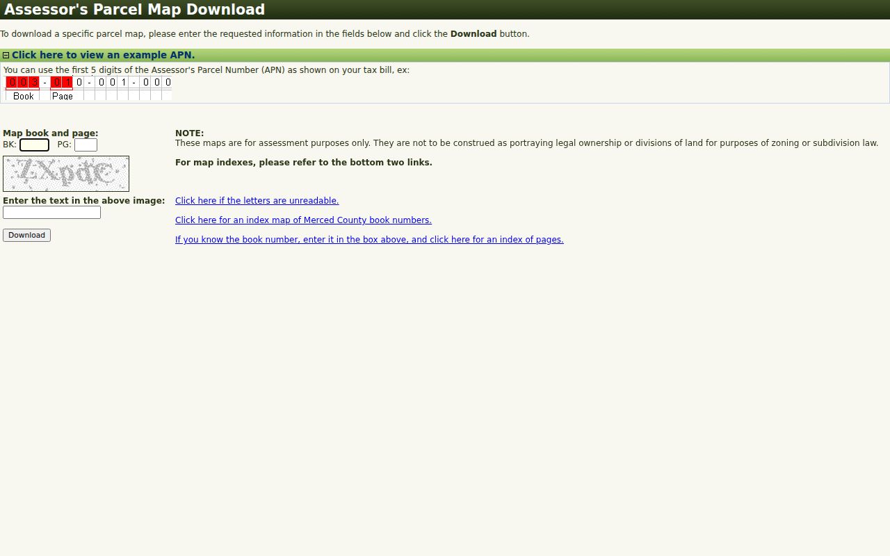
The parcel map helps connect an APN to an outline and map reference. It is an assessment aid, not proof of legal ownership, zoning, or lawful subdivision; the recorded deed and legal description control title questions.
Note: Keep leading zeros in an APN and copy the exact situs wording before moving from the tax portal to RecorderWorks.
Merced Street Directory Record Map
A Merced street directory trail works because different custodians answer different address questions. The tax roll and parcel map locate the land. The Recorder identifies parties to recorded documents. Permit files describe work at an address. Historical directories and census schedules add people who may not be owners. Voter data is not a casual street list, so it belongs at the end of a lawful, documented workflow.
| Record set | Keeper | Street-level answer | Access channel |
|---|---|---|---|
| Assessment or tax bill | Merced Assessor and Tax Collector | APN, situs, assessment, tax status, possible mailing clue | MBAP online or counter |
| Parcel map | Assessor | Boundary, book, page, and APN context | Free download with CAPTCHA |
| GIS layers | City and County GIS | Parcel geography and configured government layers | Free web viewers; verify facts |
| Deeds and liens | Assessor-Clerk-Recorder | Grantor, grantee, recording date, document number, legal description | RecorderWorks from 1963; office earlier |
| Permits and cases | City or County Development Services | Applicant, contractor, project, issue or status dates | Citizen Access or records request |
| Reverse directories | Museum, library, or NARA | Occupant or business at a stated year | Archive inquiry, visit, or microfilm |
| Voter information | Registrar of Voters | Self status or approved registration report | Identity lookup or qualifying application |
Use the APN and legal description to join the tax, map, deed, and permit layers. Use the street spelling only as a search aid because older books may omit directions or use a different suffix. When the question turns from every parcel on a street to one named person, the Merced resident lookup workflow supplies the right-person checks.
Merced Deeds Behind the Address
RecorderWorks is the county's grantor-grantee and document-number index from January 1, 1963 to its current partial recording date. In name mode, the fields include a party-role choice, person or business name, partial-match option, and recording-date range. Use LAST FIRST, add a partial first name for a large surname, and use the document-number tab when a deed number is already known.
A result links to the document number. The document page can expose the indexed party list, and selecting a person in its left menu retrieves documents tied to that indexed name, arranged by document type and recording date. That pivot is often more useful than repeating a broad surname search.
- Indexed party name and the selected grantor or grantee role.
- Document number, document type, and recording date.
- The party-associated document list returned from the document page.
- Book-and-page references for maps and the legal description used to disambiguate names.
Index searching and office viewing are free. A cart can be assembled for copies, then printed and mailed with payment. The portal does not promise free downloadable images. Records before 1963 require an in-person search at 2222 M Street. The Recorder is open Monday through Friday from 8:00 to 4:30, with a 3:30 recording cutoff, and can be reached at (209) 385-7627.
Note: A deed chain identifies recorded parties and land interests, while a street directory or census is needed for earlier household evidence.
Merced Street Permit Records
Permit records add a physical timeline to an address search. City Merced work is routed through Development Services and Citizen Access. County Accela covers unincorporated areas and does not automatically cover every address inside Merced city limits. Search results can connect an address to an applicant, contractor, permit type, project description, and issue or status date, but an applicant is not necessarily an owner or occupant.
County Citizen Access uses Building, Planning, Enforcement, Licenses, and Public Works tabs. Its address search can use a search type, street number, direction, street name, suffix, unit, city, state, ZIP, mailing address, and an address date. Anonymous visitors can search some applications. A free account adds user-specific application history, invoices, receipts, and pending-activity status.
For city records that are not published, the City Clerk public-record request channel is the fallback. A request should identify an existing record with enough detail for staff to find it; it should not ask the city to create a new street list. Retention follows the City Council-approved schedule.
Note: Confirm the incorporated boundary before choosing city or county Citizen Access, especially on Merced's developing edges.
Merced Street Address Records
A situs address is the physical location of the parcel or building. A mailing address is where a tax notice or other correspondence is sent. The mailing address may be another home, a post-office box, a business, a trustee, or a management address. A matching situs and mailing address can support a lead, but it does not prove that every named person lives at the parcel. A different mailing address can suggest a nonresident owner, but it is not proof of a current home.
- Parcel
- A mapped unit of land identified by an APN and related assessment records.
- Situs address
- The physical address assigned to the land or building, distinct from a notice-delivery address.
- Plat
- A recorded or assessment map that shows lots, blocks, or subdivision relationships; it is not itself a deed.
- Criss-cross directory
- An address-keyed historical directory that can be searched by street and number when the volume includes that section.
Keep the APN, legal description, map book, and page with the address. County maps expressly do not establish legal ownership or lawful subdivision. The recorded document controls. If a typed street name produces no result, try the older abbreviation, a lot-and-block reference, or a map-book clue instead of assuming the parcel has no history.
Merced Tax Layers and City Edges
Tax geography can explain why a street search crosses record boundaries. The State Board of Equalization's Merced County tax-rate-area map is labeled 2026, with data updated in June 2026. A tax-rate area is a jurisdiction and tax layer, not a ZIP boundary, a title record, or a household roll.
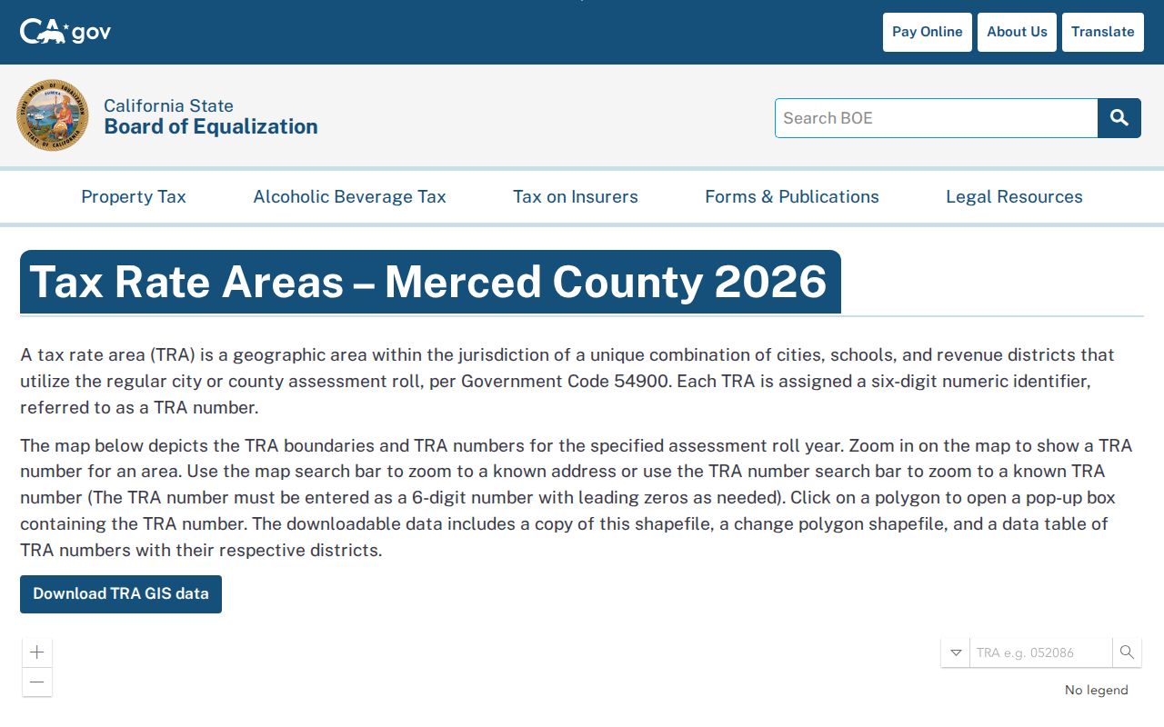
The map gives a street researcher another way to check which public authority may matter for an address. Compare it with the incorporated-boundary layer and the parcel's tax context before sending a permit or public-record request.
No authoritative Merced source documented a citywide renumbering event or year. When an old number disappears, compare the directory's street guide with Sanborn maps, subdivision maps, city engineering records, and the legal description. State the gap rather than inventing a renumbering story.
Note: Postal geography, tax-rate areas, incorporated limits, and parcel boundaries can overlap without sharing the same line.
Older Merced Streets in Reverse Directories
The Merced County Historical Society Museum archive lists Polk city volumes for 1914, 1928-1929, 1930-1931, 1935, 1938, 1941, 1963, and 1966, plus Merced-Atwater issues for 1971, 1972, 1980, 1988, and 1989. The archive also lists earlier county business directories. Do not assume every volume has a street section. Check the contents and copy the abbreviation legend with the target entry.
NARA's Merced-Madera microfilm adds 1914, 1917, 1920, 1922, 1926-1931, and 1935, with coverage that can include Atwater, Chowchilla, and Livingston. A missing Merced name may reflect publication geography, a canvass omission, a move, a death, or a changed address. The Main Library at 2100 O Street, (209) 385-7484, is the practical place to ask about newspapers, reference databases, microfilm, and local-history help. The Museum is the specialist archive.
For a full review of the year runs and how to read a volume, use the Merced city directories collection guide. A street directory search should borrow only the historical address method, then return to the parcel and deed chain for current records. Released federal census schedules through 1950 can add household relationships, but they remain dated snapshots.
Merced Voter Data Has a Gate
California My Voter Status is a private self-lookup. It asks for first name, last name, full date of birth, and either the California driver's-license or state-ID number or the last four digits of the Social Security number. Each sensitive field has an option for not having it. The result can report the user's registration status, party and language preference, vote-by-mail or provisional status, polling place, upcoming elections, and county contact.
The full voter file is different. The California voter-file request rules and Elections Code sections 2188 and 2194 limit release to election, scholarly, journalistic, political, or governmental purposes. Signatures, Social Security numbers, driver's-license and state-ID data, confidential voters, and preregistered minors are withheld. Merced reports can be requested on paper, CD-ROM, digital download, or email, generally within 48 hours after an approved application, but a personal request to enumerate a street is not a permitted shortcut.
The Registrar of Voters is at 2222 M Street and can be reached at (209) 385-7541 or (800) 561-0619. A signed application declares the qualifying purpose under penalty of perjury, is retained for five years, and bars onward sale, lease, loan, or gift without written authorization. Safe at Home participants use confidential registration protections instead of the ordinary public path.
Limits of a Merced Street Directory
A street directory cannot reveal a complete household. Assessment ownership data does not enumerate everyone at a parcel. Utility-customer and delivery records are not a general public source. DMV residence data is protected by the federal Driver's Privacy Protection Act. Voter information has a purpose gate, and Safe at Home or confidential-voter protections can deliberately interrupt an address trail. A parcel map also carries an accuracy warning and does not replace a recorded deed.
The strongest result is therefore a documented connection, not a claim that a named person currently lives at an address. Save the source, custodian, record date, APN or case number, and the exact wording. If a result conflicts with another source, ask the office that holds the record for a correction or clarification instead of merging names by guesswork.
Lawful use. Use Merced address records for personal, lawful research such as family history, parcel questions, or civic research. Repeated unwanted contact, threats, harassment, intimidation, or targeting a protected address can cause harm and may violate California Penal Code section 646.9.